Routeburn day-walk (F23)
A day-walk along the famed Routeburn Track, heading in from the eastern trailhead to Routeburn Flats and then up to the twin huts at Routeburn falls.
GPS: -44.718651° 168.278264°

Dart River and Routeburn Track access map
x
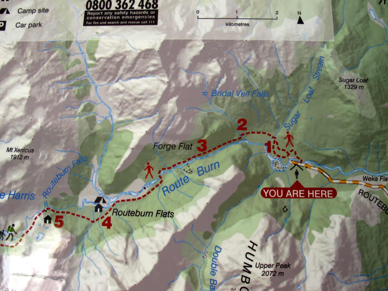
Close-up of the day-walk portion of the Routeburn Track.
x
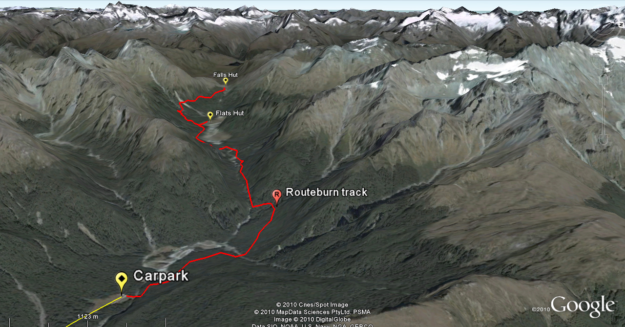
Routeburn day-walk overview
x
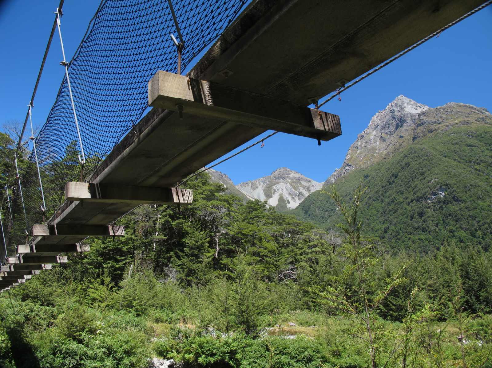
Swingbridge near the start of the Routeburn day-walk.
x
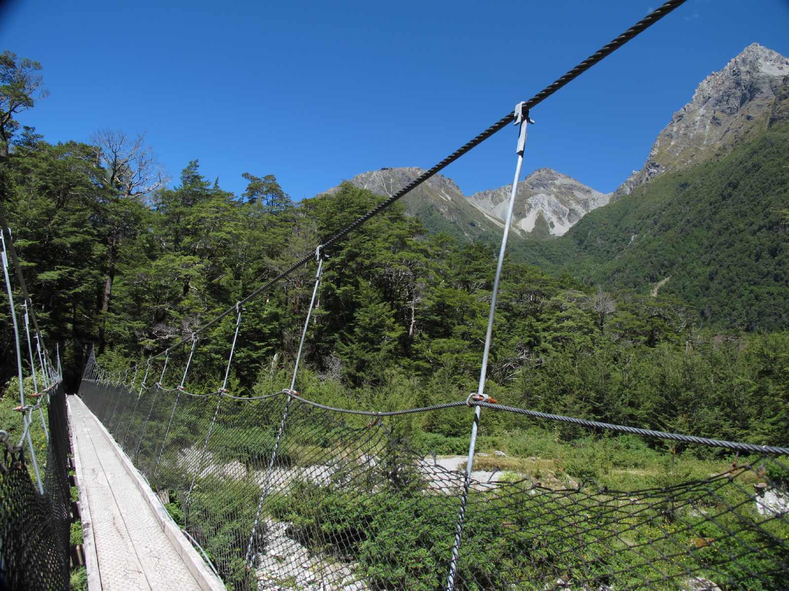
On the Routeburn day-walk swingbridge.
x
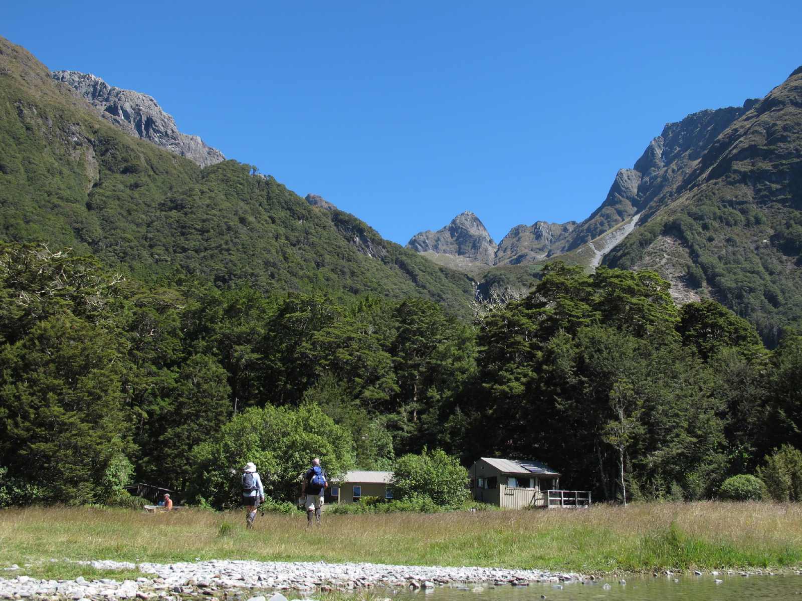
The hut at Routeburn Flats.
x
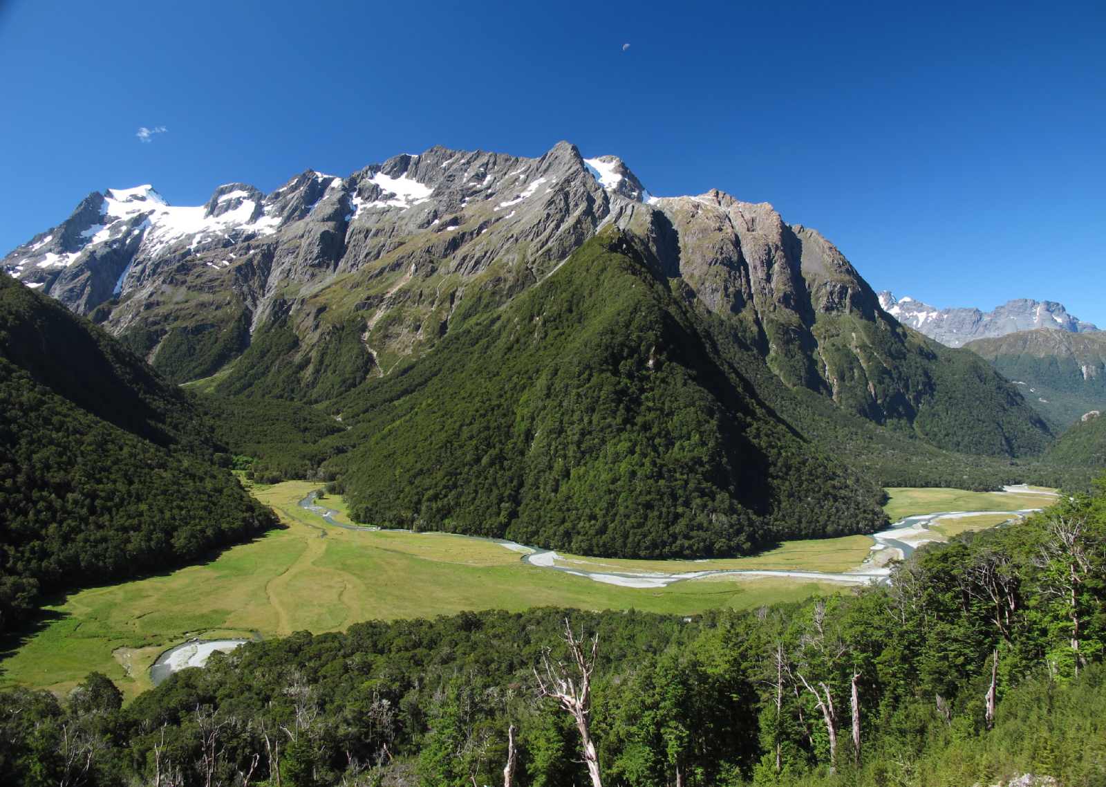
The AMAZING views that reign as you climb up the hill to the Routeburn Falls hut area.
x
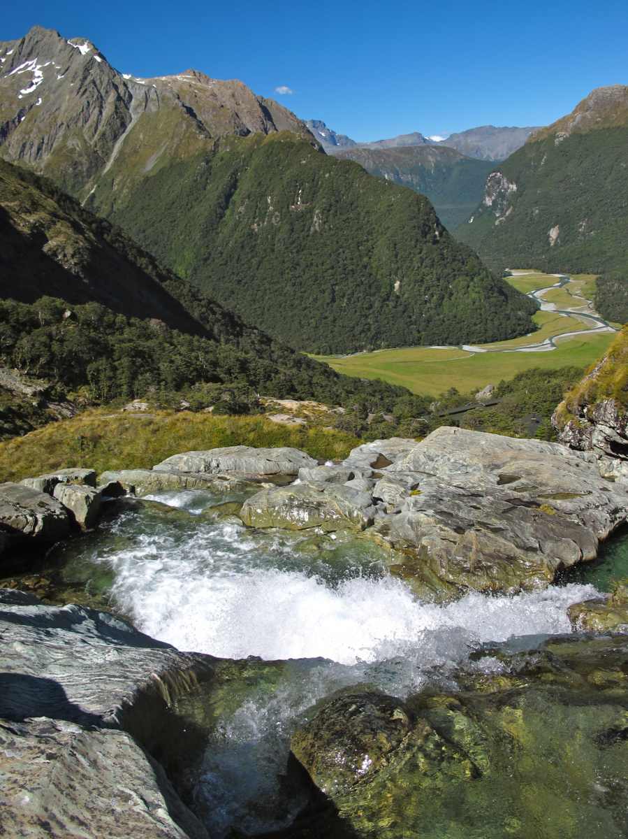
Majestic scenery at Routeburn Falls. This is the end of the Routeburn day-walk.
Majestic scenery at Routeburn Falls. This is the end of the Routeburn day-walk.

March 15, 2017 at 10:31 pm |
We hiked to Ball Flat, then noticed the Routeburn North track going across the meadow in front of the hut. We took that track back to a small tarn. We were the only ones on the track. Beautiful hike with great views though not from a ridge.